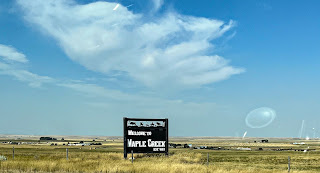
From Medicine Hat to Moose Jaw, we decided to take the backroads rather than just go along Hwy 1. We’ll take that on our way back.
In planning the route we used both Google Maps and Google Earth which allowed us to find a few interesting spots, and to get coordinates to program waypoints on our GPS. That was a bit of a learning curve.
Shall we try counting hay bales? 1, 2, 3..50
51, 52…. 123
261…oh forget it
Let’s try counting pump jacks…yes, we had to Google them to figure out what they are called.
1, 2
3,4,5,6….oops lost count
Hmmm. I wonder if the Flat Earthers are right? If we keep going, will we simply fall off the edge of the earth?
How about counting grain silos?
The counting game gets old quickly.
When we planned the trip, a curiosity we discovered on Google Earth was Robsart. Have you ever been there? This is a real ghost town….not a tourist attraction that calls itself a ghost town. There is maybe one house that people might be living in, but the rest is completely abandoned. We should have taken more pictures.
Downtown? There were even a couple of cars left in the garages. Maybe someone is trying to turn it into a ghost town tourist attraction….If they are it isn’t working, and if they do…too bad, they’ll ruin it.
This as an interesting surprise. Scotty, the world’s largest T-Rex. A friend of Mona’s mentioned him, but we didn’t know what she was talking about, and didn’t research it, so it just sort of happened.
In the centre there as a worker who was originally from Nelson. Mona knew the ladies uncle….Mona knows everyone. Worldwide
This is a bridge that probably had a road over it at some point but doesn’t now. At least none we could see.
Lunch at a small town cafe. Okay, I doubt they use the word cafe.


Comments
Post a Comment